
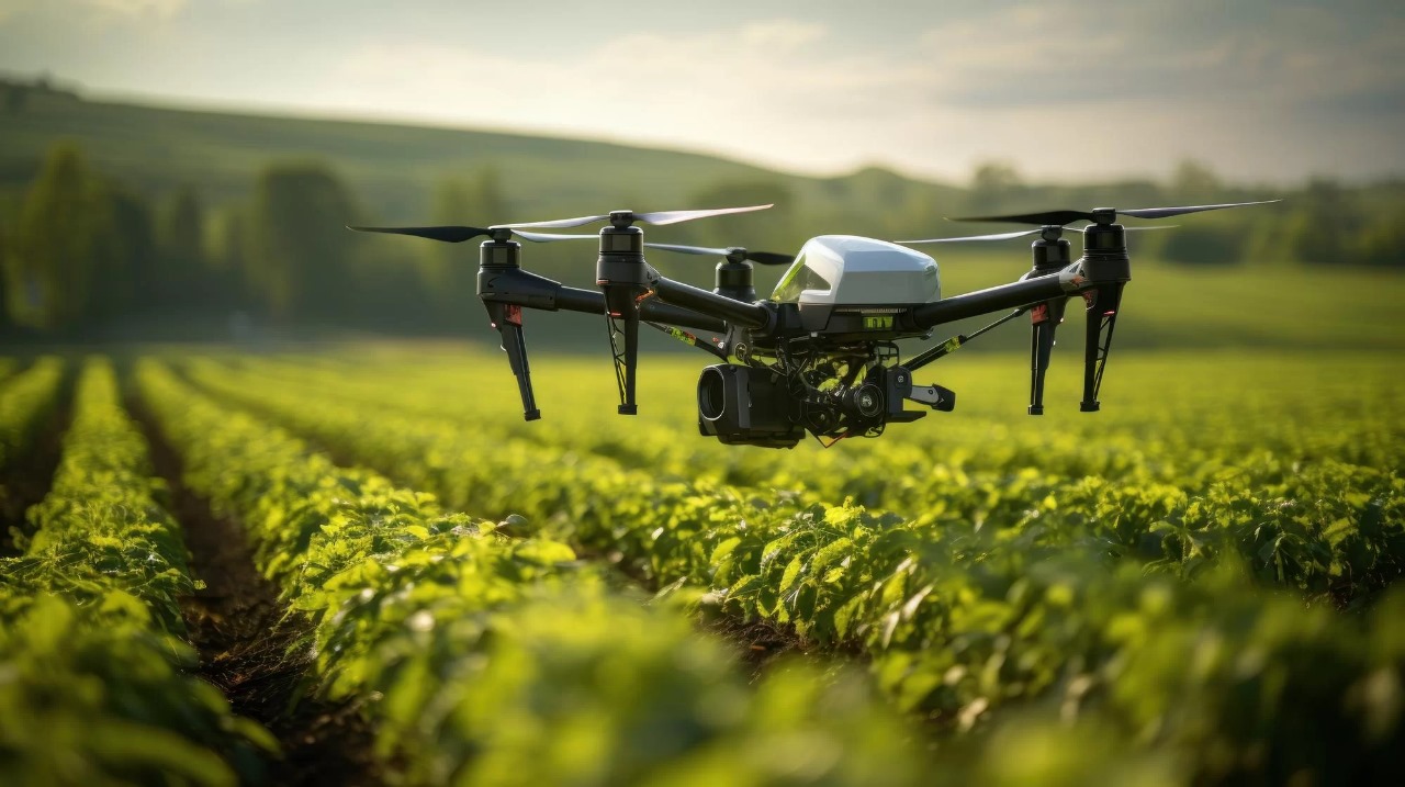
Smart Drone Solutions
At Vedatrix, our strategy and consulting services are designed to address complex challenges in drone operations, delivering pragmatic solutions that prioritize the core principles of safety, efficiency, and innovation.
Driving Excellence in Drone Solutions
At Vedatrix, we specialize in guiding organizations through the complexities of modern drone operations. As industries like topographical surveying, agriculture, defense, and logistics rapidly evolve, it’s essential to focus on the key areas that drive efficiency and performance. The success of your drone initiatives relies on more than just advanced technology—it requires a strategic approach grounded in operational excellence and reliability.
Our consulting services are designed to help your organization prioritize critical objectives, from enhancing drone efficiency to ensuring compliance and safety. By leveraging the combined expertise of our strategy and technical teams, we deliver tailored solutions that optimize drone operations and deliver measurable outcomes.
Optimized Drone Operations Services
3D textured mesh
Using drone technology to create detailed 3D textured meshes for accurate modeling of structures, enhancing architectural and engineering projects.
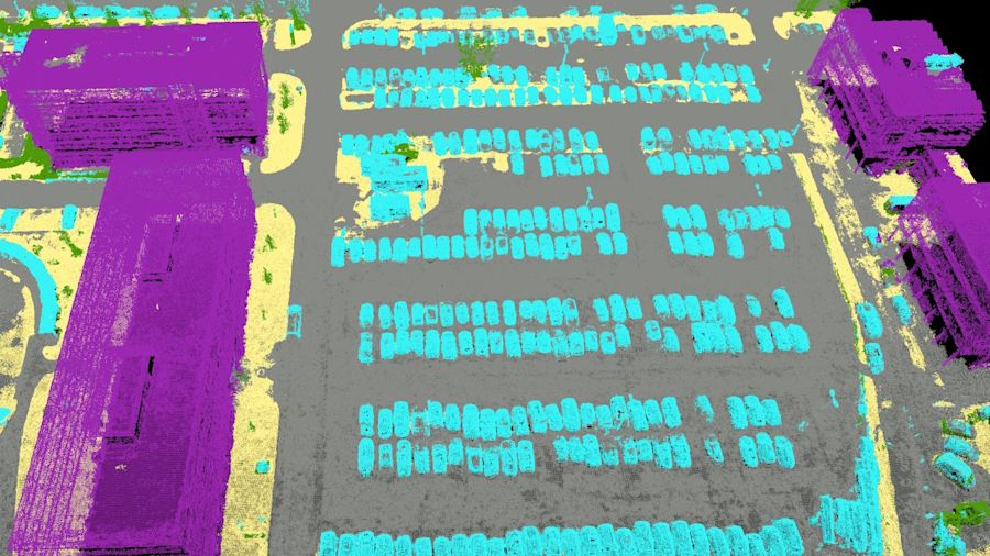
Classified point cloud
Advanced drone-based surveys capturing classified point clouds for high-precision 3D modeling, ideal for surveying complex terrains and structures.
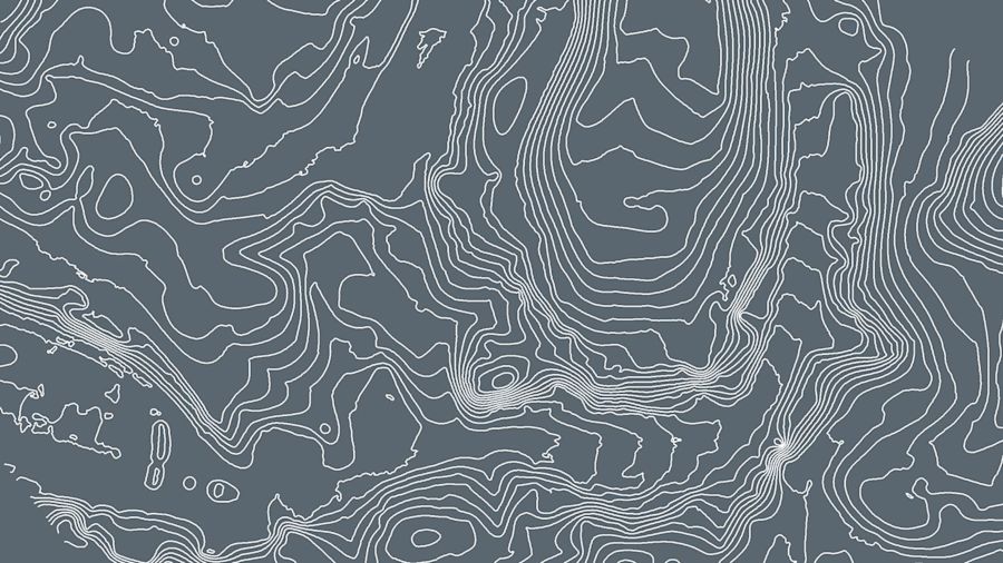
Contour lines
Drone-generated contour lines that provide precise elevation data, critical for topographic mapping, construction, and environmental analysis.
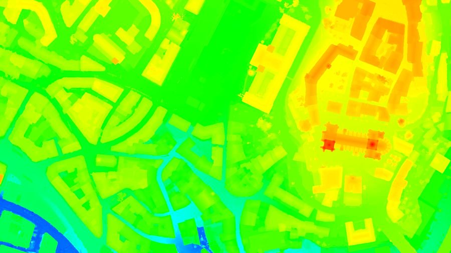
Digital surface model (DSM)
Drone surveying solutions for creating digital surface models, capturing surface features like buildings and vegetation for urban planning and analysis.
Digital terrain model (DTM, DEM)
Precise terrain modeling using drone surveys to create Digital Terrain Models (DTM) and Digital Elevation Models (DEM), essential for landscape analysis and infrastructure planning.
Index maps
Drone surveys for creating index maps, improving geographic data management, and enhancing site management and decision-making in various industries.
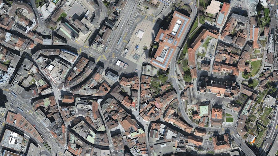
Orthomosaic
High-resolution drone-based orthomosaic mapping for applications such as land surveying, environmental monitoring, and agricultural management.

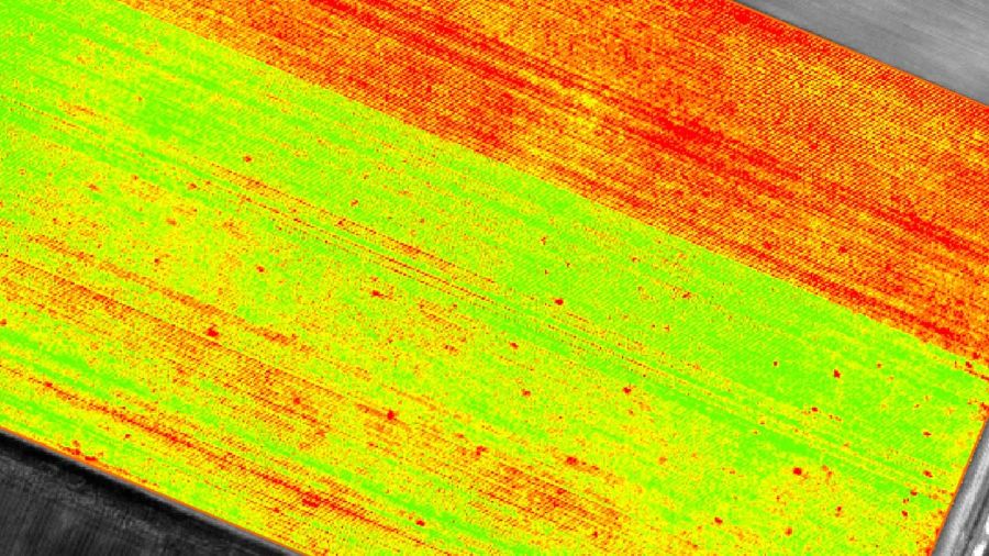
Reflectance maps
Drone-generated reflectance maps for assessing vegetation health, environmental conditions, and industrial site monitoring through precise spectral analysis.
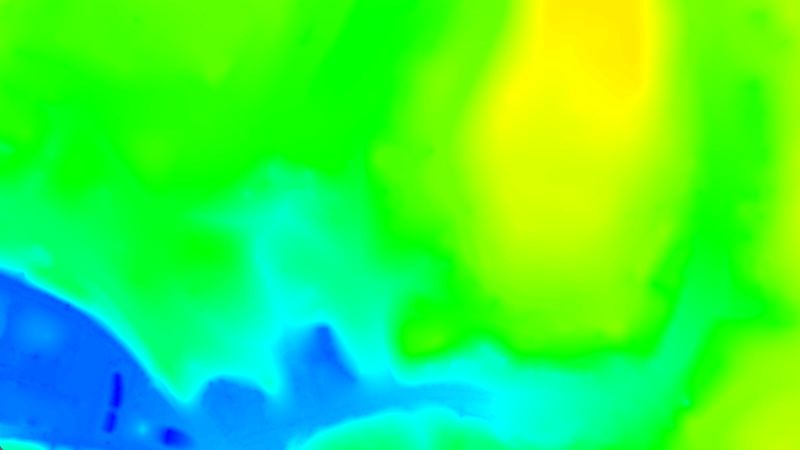
Thermal maps
Using drones to capture thermal images for applications such as energy inspections, building diagnostics, and agricultural irrigation management.

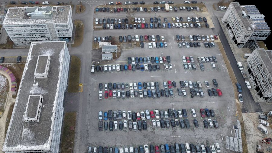
Color point cloud
Creating high-definition color point clouds using drone technology to provide detailed 3D models for applications like construction, land surveying, and environmental analysis.
Optimized Drone Operations Across Sectors

Agriculture
Utilizing drone technology to enhance agricultural practices, improve crop monitoring, optimize irrigation, and support sustainable farming techniques.
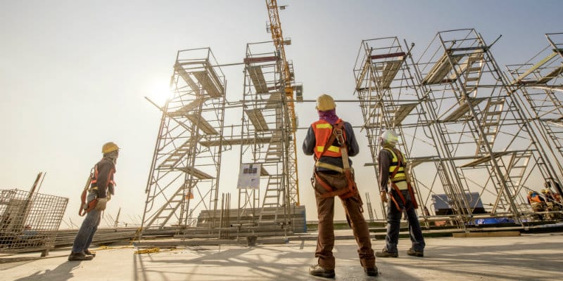
Construction & Infrastructure
Leveraging drone-based surveys to streamline construction processes, improve site monitoring, track project progress, and enhance resource management for infrastructure development.
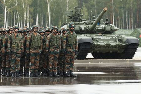
Defence & Homeland Security
Advanced drone surveying solutions designed for defense and security applications, providing precise surveillance, improved situational awareness, and enhanced operational efficiency.
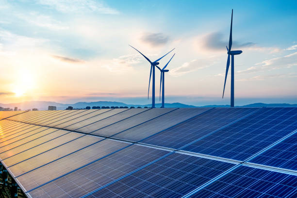
Energy & Utilities
Drone-based surveys for the energy and utilities sector, focusing on infrastructure monitoring, maintenance inspections, and improving operational efficiency in the energy industry.
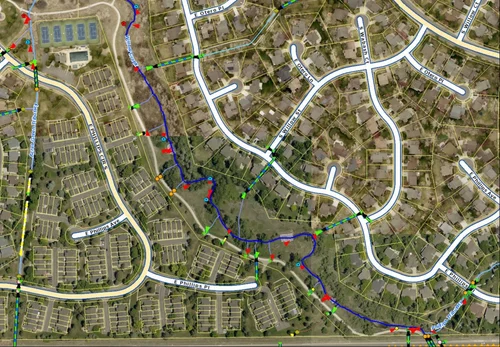
GIS Surveying & Mapping
Utilizing drone technology for precise GIS surveying and mapping, enabling accurate data collection for various applications including urban planning, environmental studies, and land management.

Industrial Security
Drone surveying solutions for industrial security, enhancing surveillance, monitoring infrastructure, and detecting potential hazards to ensure safety and compliance in industrial environments.
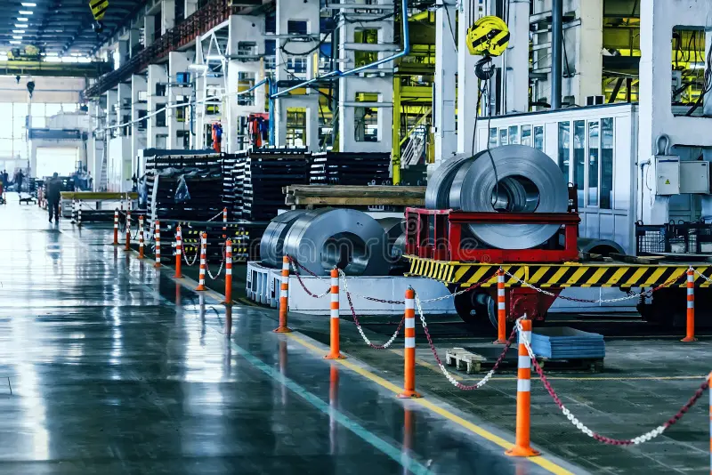
Manufacturing & Heavy Industries
Efficient drone surveys designed for the manufacturing sector, optimizing supply chain management, logistics, and production processes for better operational control.
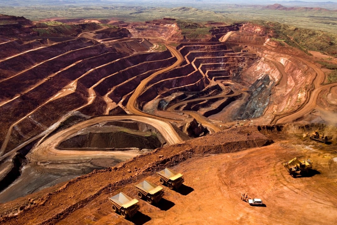
Mining & Metals
Drone-based surveys in mining and metals industries, improving resource extraction, monitoring environmental impacts, and enhancing site safety and operational efficiency.
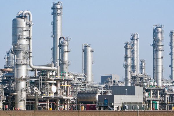
Oil & Gas
Comprehensive drone surveying solutions for the oil and gas industry, offering efficient inspections, environmental monitoring, and optimizing resource management in remote locations.
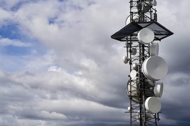
Telecommunications
Drone-based surveys in telecommunications to optimize network installations, improve site management, and track progress in construction projects, ensuring accurate and efficient service delivery.
At Vedatrix, we understand that your success with drone operations is directly linked to our expertise.
Our team is committed to delivering top-tier drone solutions, transforming complex challenges into streamlined, actionable strategies. We focus on providing clear, practical advice—free from unnecessary jargon—ensuring efficient, effective drone services tailored to your specific needs.
We Speak Your Industry
+A Customized Approach to Drone Solutions
+End-to-End Drone Services
+Accredited and Trusted
+Integrated Drone Services and Strategic Consulting
At Vedatrix, we deliver complete end-to-end services tailored to your needs.
At Vedatrix, we offer fully integrated, end-to-end drone solutions tailored to meet your unique needs. Our expert consulting and strategic services, combined with managed drone operations, are designed to optimize performance, enhance data accuracy, and address operational challenges efficiently. Whether you’re launching a new drone program, optimizing existing workflows, or seeking to outsource your drone operations, Vedatrix is here to provide the support and innovation needed to elevate your business.
Accredited and India-Focused Drone Solutions Provider
Vedatrix is a trusted partner for drone services across regulated industries, committed to delivering reliable and compliant solutions. With certifications in industry standards and a focus on quality and operational excellence, our processes undergo stringent audits to meet the highest benchmarks. Proudly India-based, we offer customized drone solutions that integrate global best practices with deep knowledge of India’s regulatory landscape. Combining cutting-edge technology with operational expertise, Vedatrix provides comprehensive drone services to enhance your organization's efficiency, safety, and performance.